On 2 February 2018, the International Court of Justice (ICJ or Court) delivered its judgment in the joined cases concerning Maritime Delimitation in the Caribbean Sea and the Pacific Ocean (Costa Rica v. Nicaragua) and Land Boundary in the Northern Part of Isla Portillos (Costa Rica v. Nicaragua).
The first case, submitted by Costa Rica on 25 February 2014, concerned the “establishment of single maritime boundaries between the two States in the Caribbean Sea and the Pacific Ocean”. The second, submitted on 16 January 2017, concerned “the precise location of the land boundary separating the Los Portillos/Harbor Head Lagoon sandbar from Isla Portillos” and the “establishment of a military camp by Nicaragua on the beach of Isla Portillos”.
The ICJ first examined the land boundary dispute which, in its view, had “possible implications for the maritime delimitation in the Caribbean Sea”. The Court found that Costa Rica had “sovereignty over the whole of Isla Portillos, including its coast up to the point at which the right bank of the San Juan River reaches the low-water mark of the coast of the Caribbean Sea, with the exception of Harbor Head Lagoon and the sandbar separating it from the Caribbean Sea”. The Court consequently ordered Nicaragua to remove the military camp which it had established on the beach of Isla Portillos from Costa Rica’s territory.
The ICJ then turned to the maritime delimitation dispute, which related to the States’ maritime boundaries in both the Pacific Ocean and the Caribbean Sea. The Court delimited the territorial sea boundaries in two stages: first, it drew a “provisional median line”; second, it considered the existence of any “special circumstances for adjusting that line”. The Court identified to such “special circumstances” in the Caribbean Sea. The first related to a Costa Rican sandspit near the mouth of the San Juan River, which the Court considered too unstable to constitute a base point for delimitation. The second related to the sandbar separating Harbor Head Lagoon from the Caribbean Sea, which the Court had already determined to fall under Nicaragua’s sovereignty. The Court noted that any territorial waters attributed to the enclave would be of little use to Nicaragua, while breaking the continuity of Costa Rica’s territorial sea. It therefore decided that “the delimitation in the territorial sea between the Parties will not take into account any entitlement which might result from the enclave”. In the Pacific Ocean, the Court identified no “special circumstances”, with the result that the delimitation followed an unadjusted median line.
In delimiting the exclusive economic zone and continental shelf boundaries, the Court used its well-established “three-stage methodology”. First, it provisionally drew an equidistance line using the most appropriate base points on the States’ relevant coasts. Second, it considered whether there existed relevant circumstances which were capable of justifying any adjustments to the equidistance line. For this purpose, the Court identified Nicaragua’s Corn Islands as a relevant circumstance, given their limited size and significant distance from the Caribbean mainland coast. Consequently, the Court gave them only half effect in the delimitation. In the Pacific Ocean delimitation, the Court found that Costa Rica’s Santa Elena Peninsula was a relevant circumstance, since its base points had a disproportionate effect on the direction of the equidistance line, resulting in a “cut-off” of Nicaragua’s coastal projections. Consequently, the Court gave Santa Elena Peninsula half effect in the delimitation. At the third stage, the Court assessed the overall equitableness of the boundaries resulting from the first two stages by checking whether the boundary resulted in any “marked disproportionality” between the length of the States’ relevant coasts and their maritime areas. The Court concluded that there was no such disproportionality for the purposes of either the Caribbean or Pacific delimitations, with the result that no further adjustments were required.
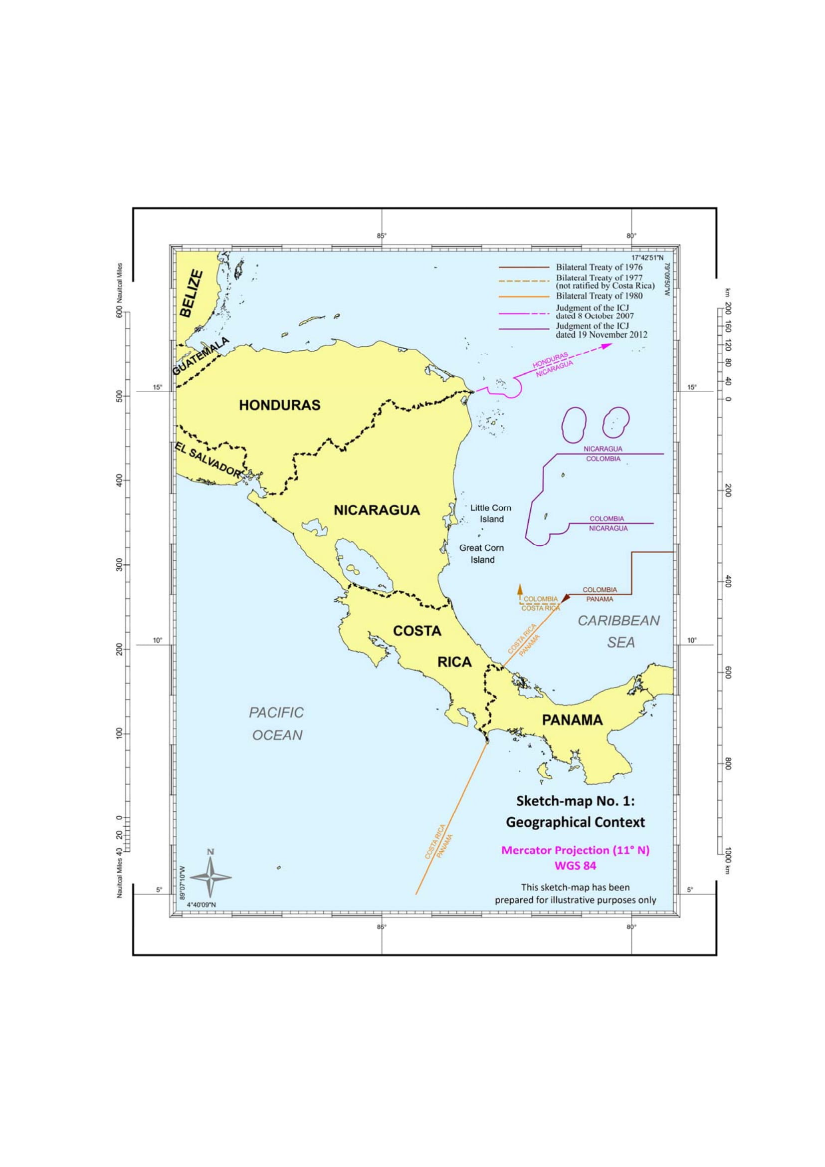
For the Court’s judgment and an illustration of the boundaries thus delimited, click here.