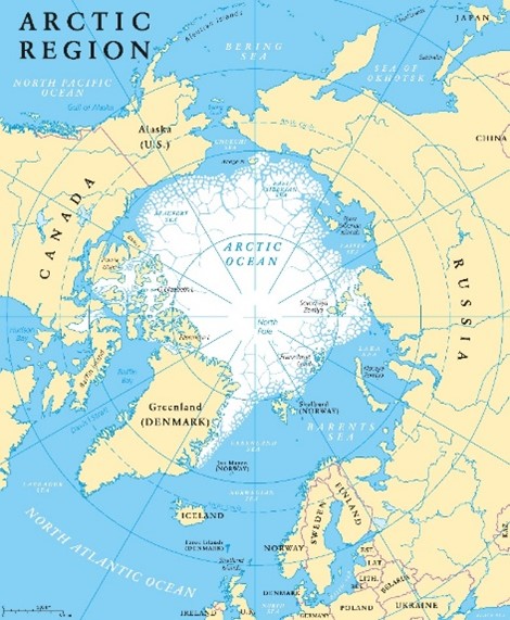
On 14 June 2022, Canada, Denmark and the Danish semi-autonomous territory of Greenland signed an agreement delimiting territorial and maritime boundaries in the Arctic (the “Boundary Agreement”). The Boundary Agreement resolved the long-standing territorial sovereignty dispute over Hans Island, as well as the continental shelf boundary between Canada and Denmark within and beyond 200 nautical miles.
[Read more]
First, the Boundary Agreement creates a territorial boundary between Greenland and Canada on Hans Island (also known as Tartapaluk) in the Nares Strait. The boundary follows a natural ravine that runs north to south across the length of the island. During negotiations, the parties consulted with the Inuit indigenous peoples of Hans Island and Greenland. The Boundary Agreement provides that the Inuit have continued access to Hans Island for hunting, fishing and other related cultural activities.
Second, the Boundary Agreement establishes a single continental shelf boundary in the Lincoln and Labrador Seas, which extends beyond 200 nautical miles and which Canada describes as “the longest continuous maritime boundary in the world”.
Press releases by Canada and Denmark, respectively, are available here and here.
The new boundaries are indicated in the following map, released by Denmark.
